Professional maps for companies with hundreds of locations.
Turn a location list into branded maps in minutes.

Map requests don't come with a brief.
Someone needs ten regional slides by tomorrow.
A VP sends coordinates and expects a clean overview.
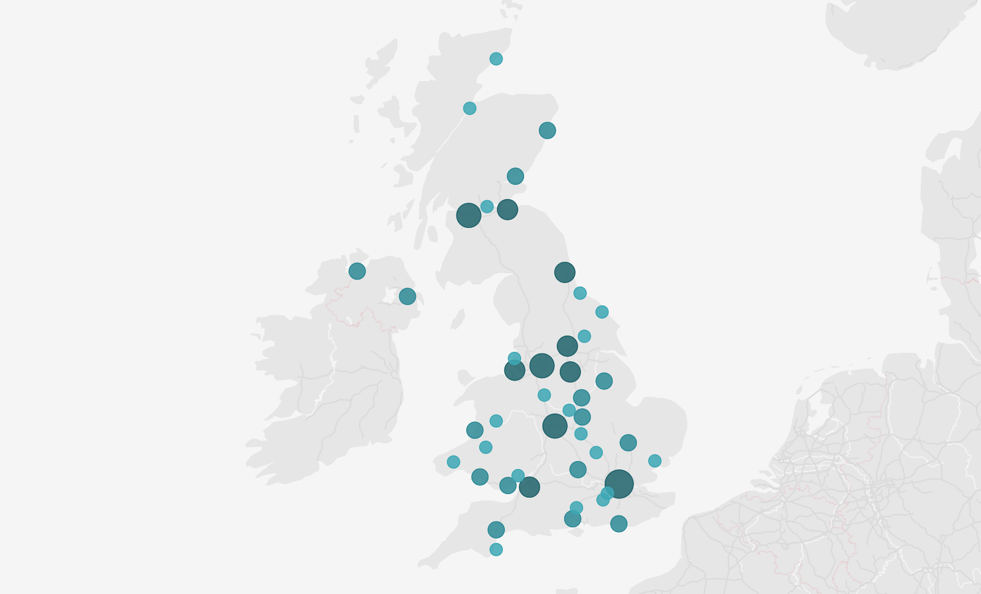
A tender requires every site in a specific area, styled and export-ready.
These requests arrive without warning or clear specs, and usually without much time. The tools you've used until now weren't built for this.
From location list to finished map in a few steps.
01
Upload your locations
Import a CSV with your coordinates. No formatting required, no technical setup.
02
Apply your visual style
Set brand colors, icon appearance, and base map layers. The kind of control that makes the difference between professional and a screenshot.
03
Frame every view you need
Navigate from country to city to street level. Highlight specific regions, adjust how points appear.
04
Export SVG or PNG and use it directly
SVG files integrate cleanly into Figma, Illustrator, and InDesign. No quality loss, no manual fixes.
What teams use it for.
Sales presentations
Ten slides, each with a different location or region highlighted. Produce all views from a single dataset, consistent styling across every slide.
Investor and executive materials
A VP needs a clean network overview by tomorrow. Professional enough to drop into a board deck without any post-production.
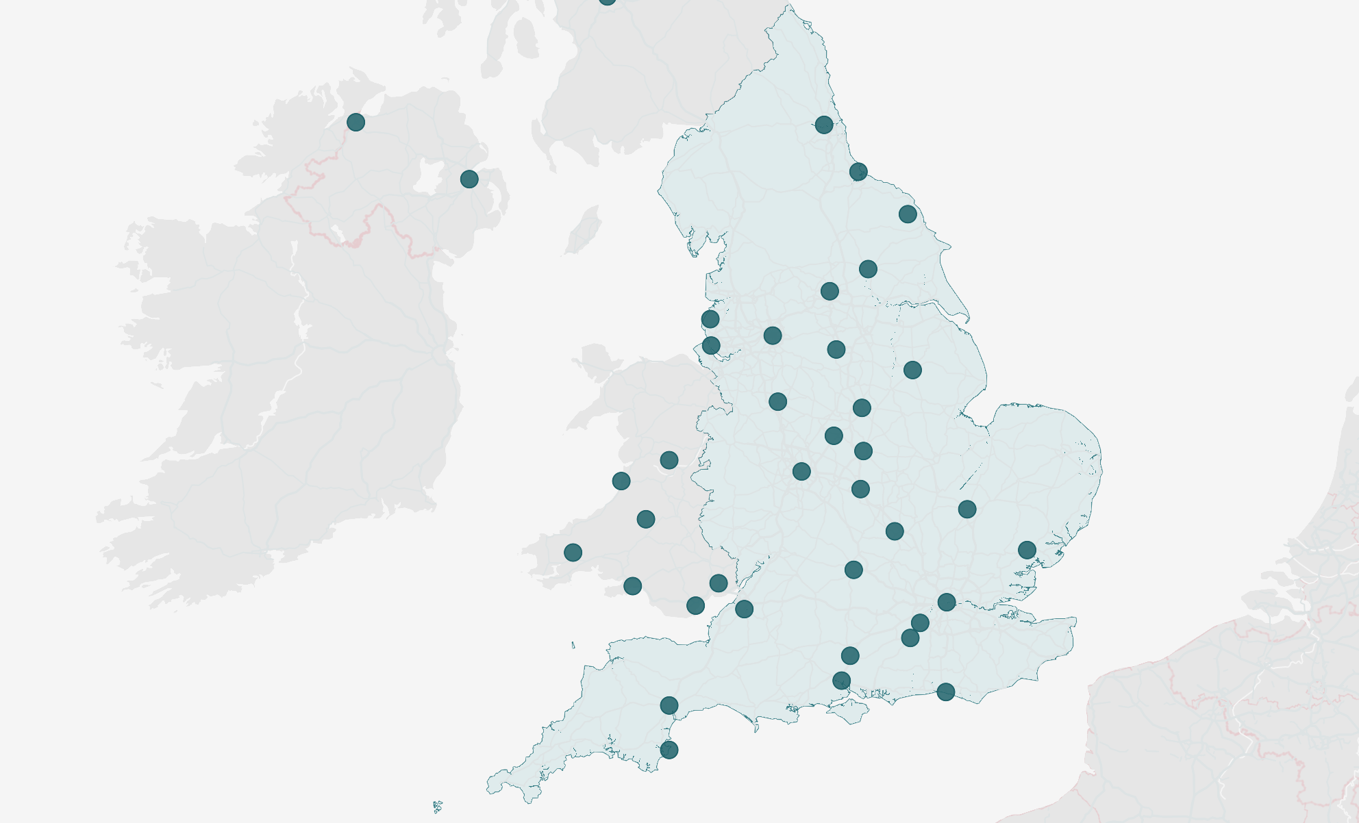
Tenders and operational documents
Every site in a specific region, export-ready as SVG for integration into InDesign or Figma layouts.
One plan. No complexity.
Everything you need to produce professional maps at any scale.
See it work on your own locations.
Try the interactive demo or request access to start producing maps with your own data.